Mars Orbiters
Every spacecraft to achieve Mars orbit — 15missions tracked with full source citations. From Mariner 9's first global map to today's active fleet.
Active Orbiters
🇺🇸
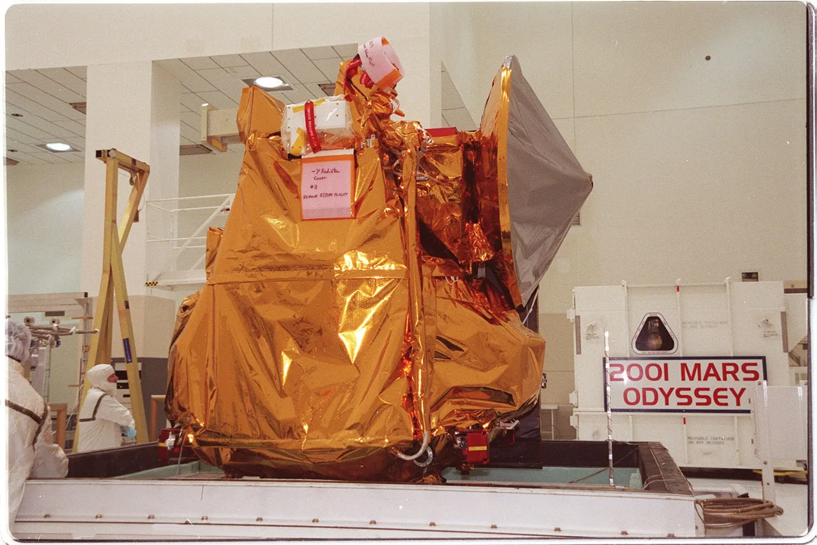
ActiveMars Odyssey
NASA · Launched 2001
Sun-synchronous polar mapping orbit, ~400 km altitude, 2-hour period
THEMIS produced the first comprehensive global map of surface mineralogy, identifying volcanic and water-altered rock types across the entire planet
🇪🇺
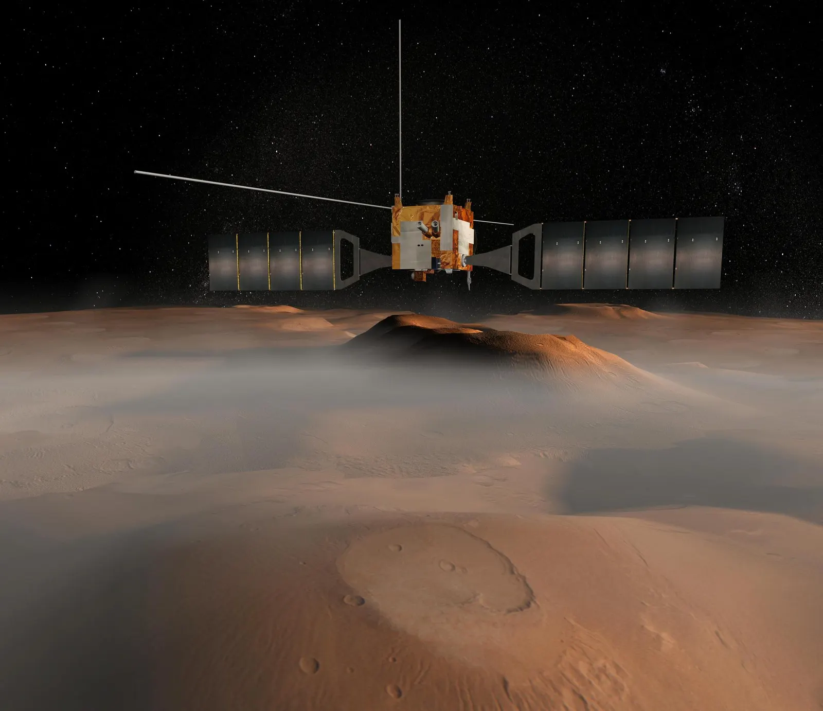
ActiveMars Express
ESA · Launched 2003
Highly elliptical polar orbit, 298 × 10,107 km, 6.72-hour period
MARSIS subsurface radar detected a 20 km wide subglacial liquid water lake under the south polar ice cap at ~1.5 km depth (published July 2018)
🇺🇸
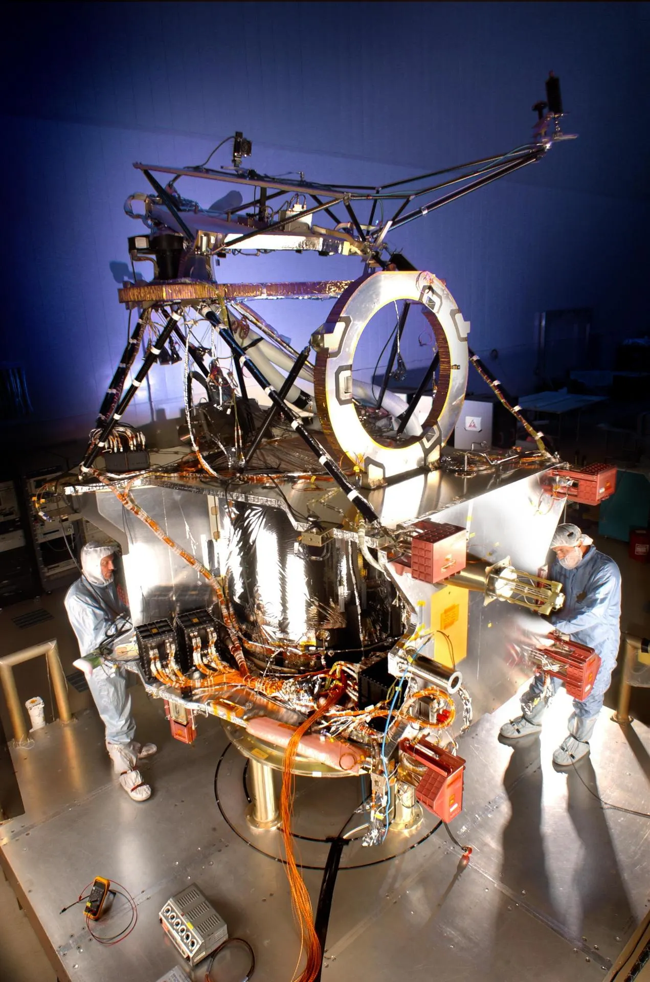
ActiveMars Reconnaissance Orbiter
NASA · Launched 2005
Nearly circular polar sun-synchronous orbit, ~300 km altitude, 112-minute period
HiRISE camera resolves surface features down to 25 cm — unprecedented resolution for any Mars mission and the benchmark for all subsequent landing site assessments
🇪🇺
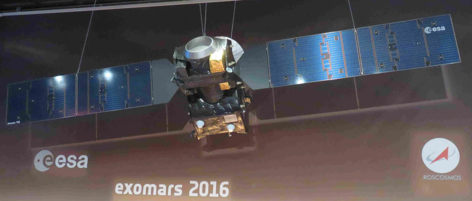
ActiveExoMars Trace Gas Orbiter
ESA / Roscosmos · Launched 2016
Near-circular polar science orbit, ~400 km altitude, 2-hour period
NOMAD and ACS instruments produced the most precise inventory of Martian trace gases to date, placing stringent upper limits on methane abundance (<0.05 ppb) — conflicting with earlier ESA/NASA detections and constraining possible biological or geological methane sources
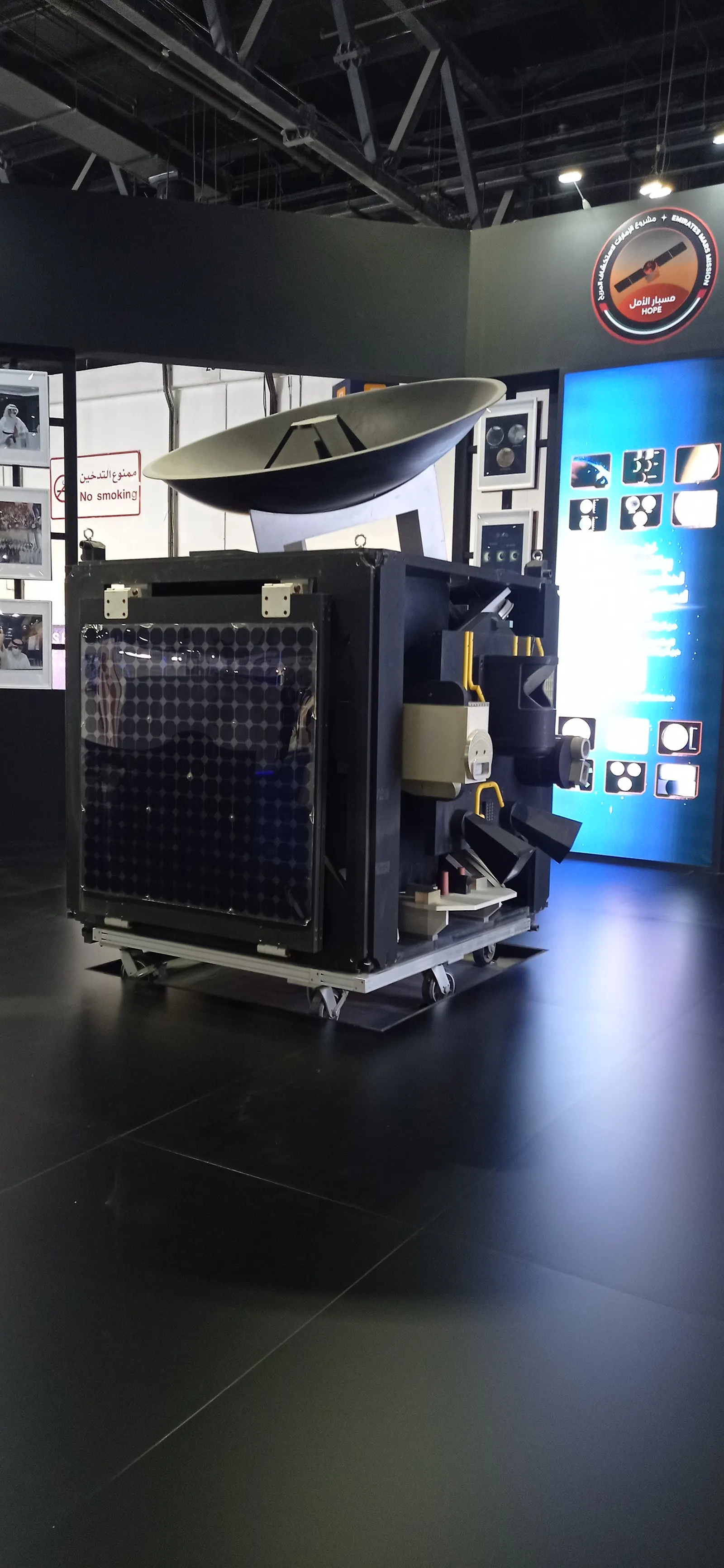
🇦🇪
ActiveHope Probe (Al-Amal)
MBRSC / UAE Space Agency · Launched 2020
Science orbit: 22,000 × 43,000 km elliptical, ~55-hour period
First spacecraft to capture a complete picture of Mars's atmospheric weather system within a single orbit due to its wide-area high-altitude vantage point
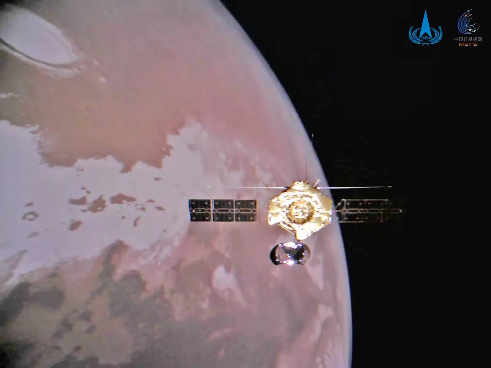
🇨🇳
ActiveTianwen-1 Orbiter
CNSA · Launched 2020
Relay/science orbit after lander separation: ~265 × 11,900 km elliptical
China's first Mars mission — made China the second nation to successfully land a rover on Mars (Zhurong, May 2021)
🇺🇸
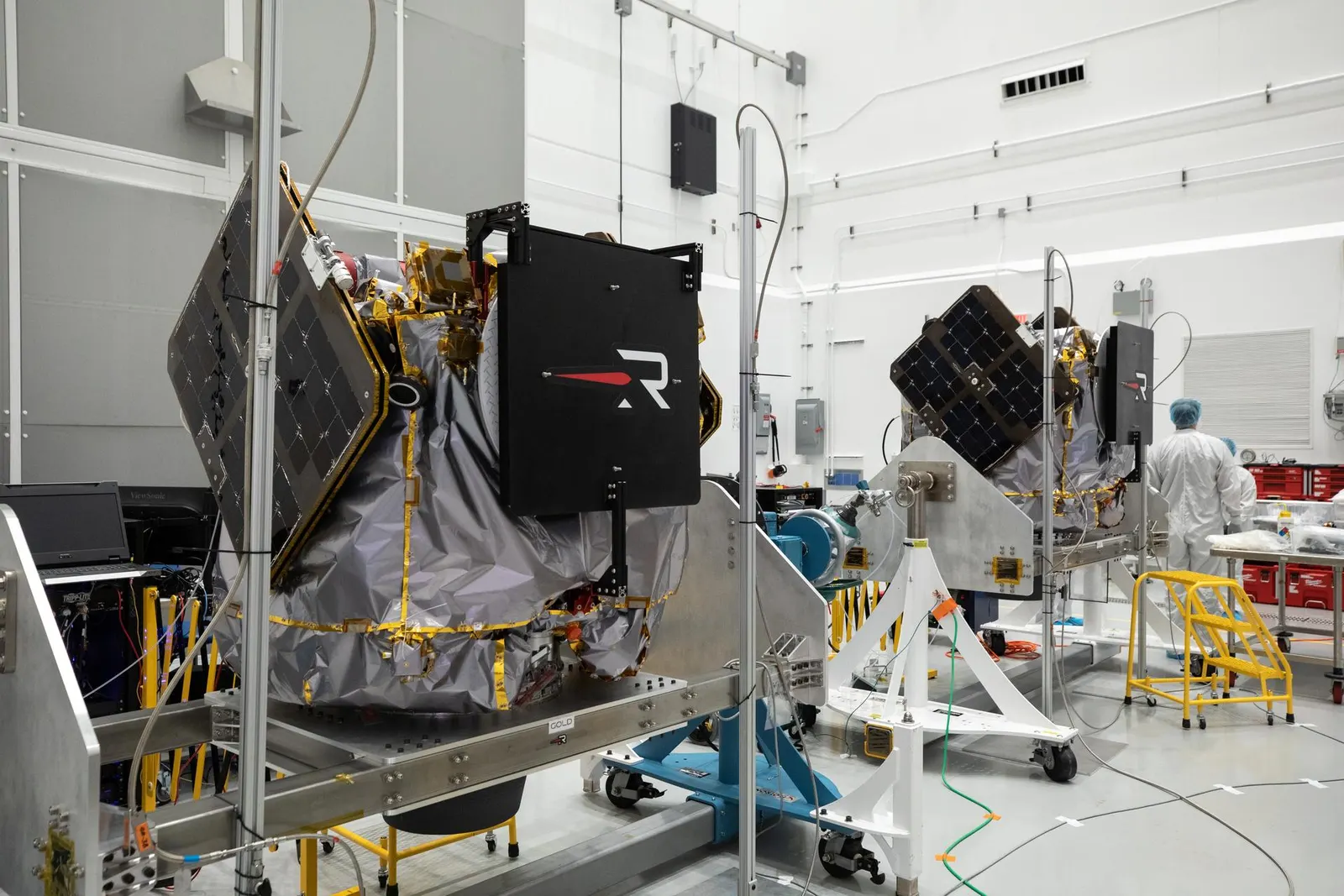
In TransitESCAPADE (twin orbiters 'Blue' and 'Gold')
NASA (UC Berkeley SSL; spacecraft by Rocket Lab) · Launched 2025
In transit — Earth gravity assist November 2026; Mars orbit insertion September 2027 into complementary elliptical science orbits
First dual-spacecraft mission to Mars — twin Rocket Lab-built orbiters will make simultaneous two-point measurements of the Martian magnetosphere
Historic Orbiters
🇺🇸
DeorbitedMariner 9
NASA · 1971 – 1972
Elliptical, 1,387 × 17,144 km, 12-hour period
First spacecraft to orbit another planet — entered Mars orbit 1971-11-14
🇺🇸
Mission CompleteViking 1 Orbiter
NASA · 1975 – 1980
Elliptical polar orbit, 300 × 33,000 km, evolved over mission lifetime
Mapped 97% of the Martian surface at 200–300 m resolution — the first near-complete photographic atlas
🇺🇸
Mission CompleteViking 2 Orbiter
NASA · 1975 – 1978
Elliptical polar orbit; inclination raised to 75° to access higher latitudes
Imaged Utopia Planitia in detail to select the Viking 2 lander touchdown site

🇺🇸
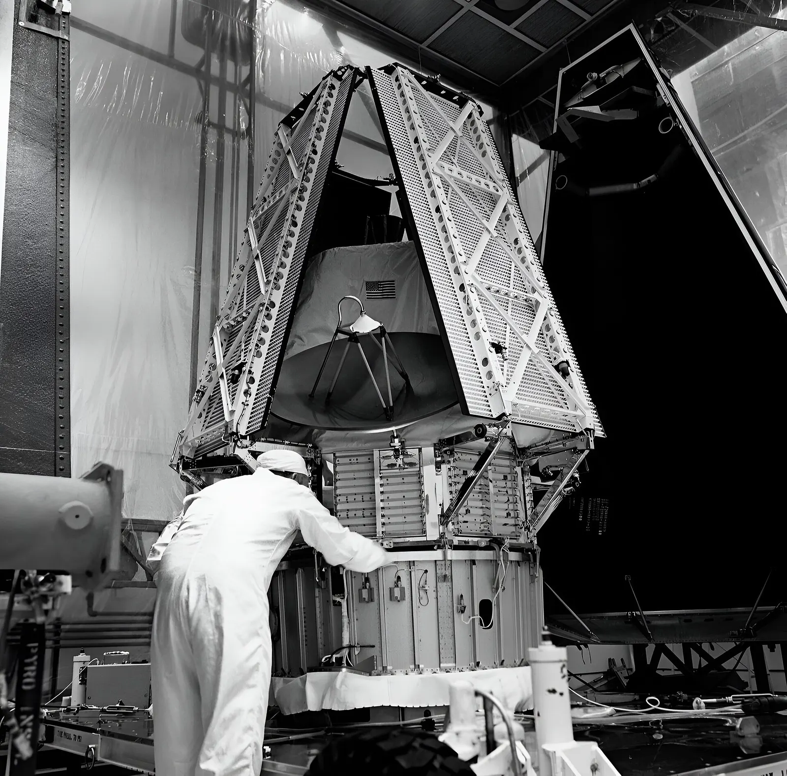
Contact LostMars Observer
NASA · 1992 – 1993
Never achieved orbit — contact lost during pre-orbit-insertion pressurization
No science data returned from Mars — contact lost August 21, 1993, three days before scheduled orbit insertion
🇺🇸
Mission CompleteMars Global Surveyor
NASA · 1996 – 2006
Nearly circular polar mapping orbit, ~378 km altitude, 117-minute period
MOLA laser altimeter produced the most accurate global topographic map of any planet — revealing Mars is divided into two distinct hemispheres by elevation
🇺🇸
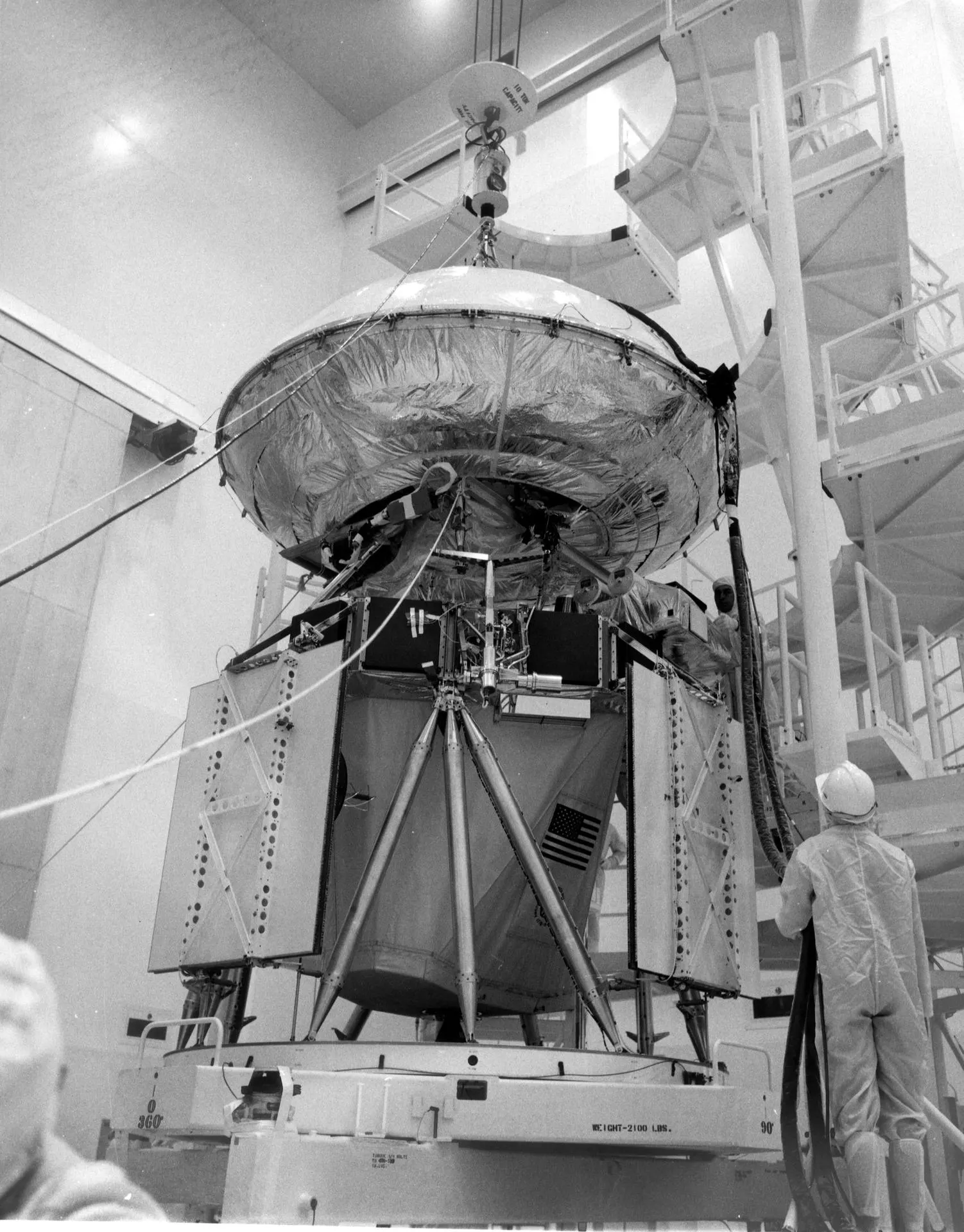
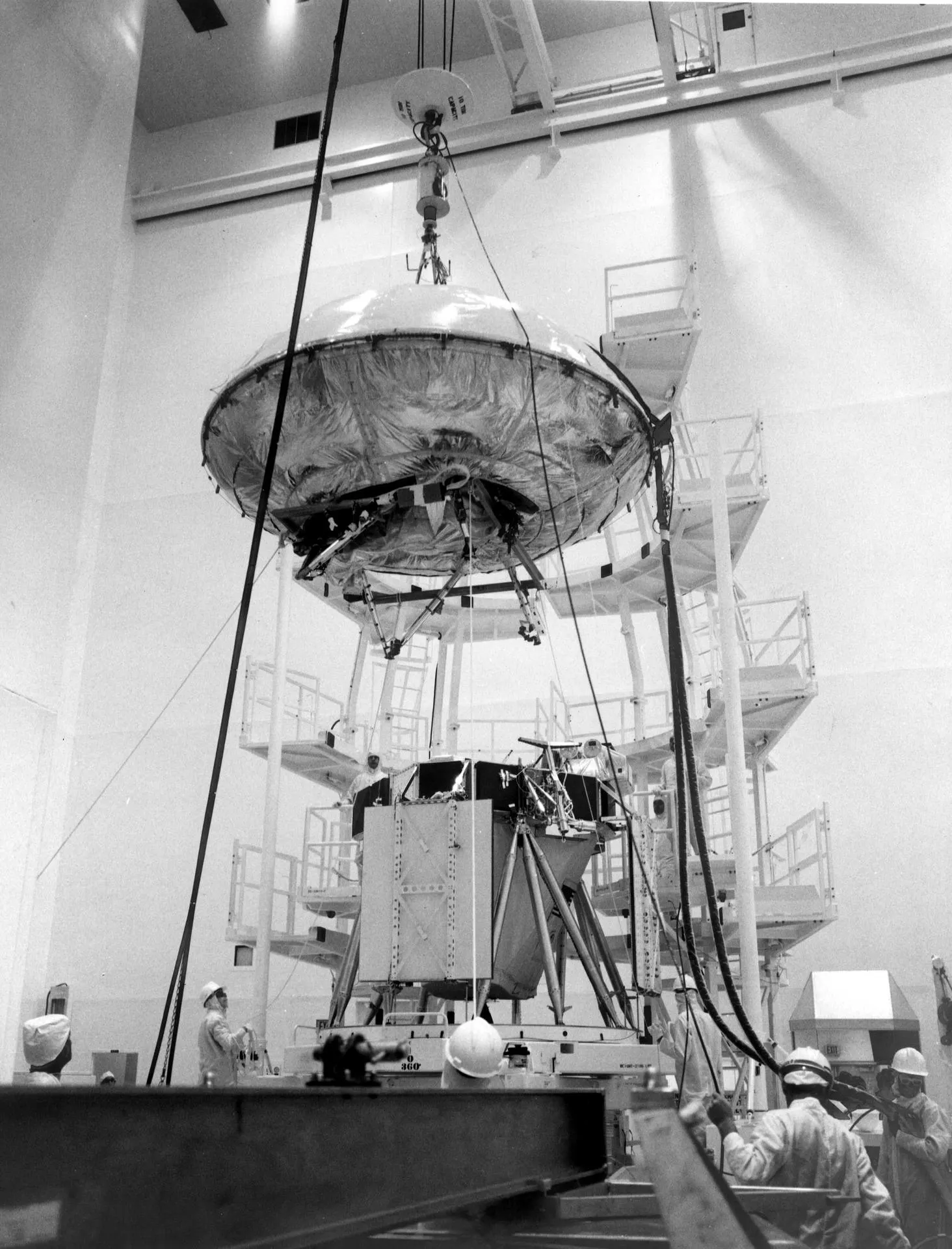
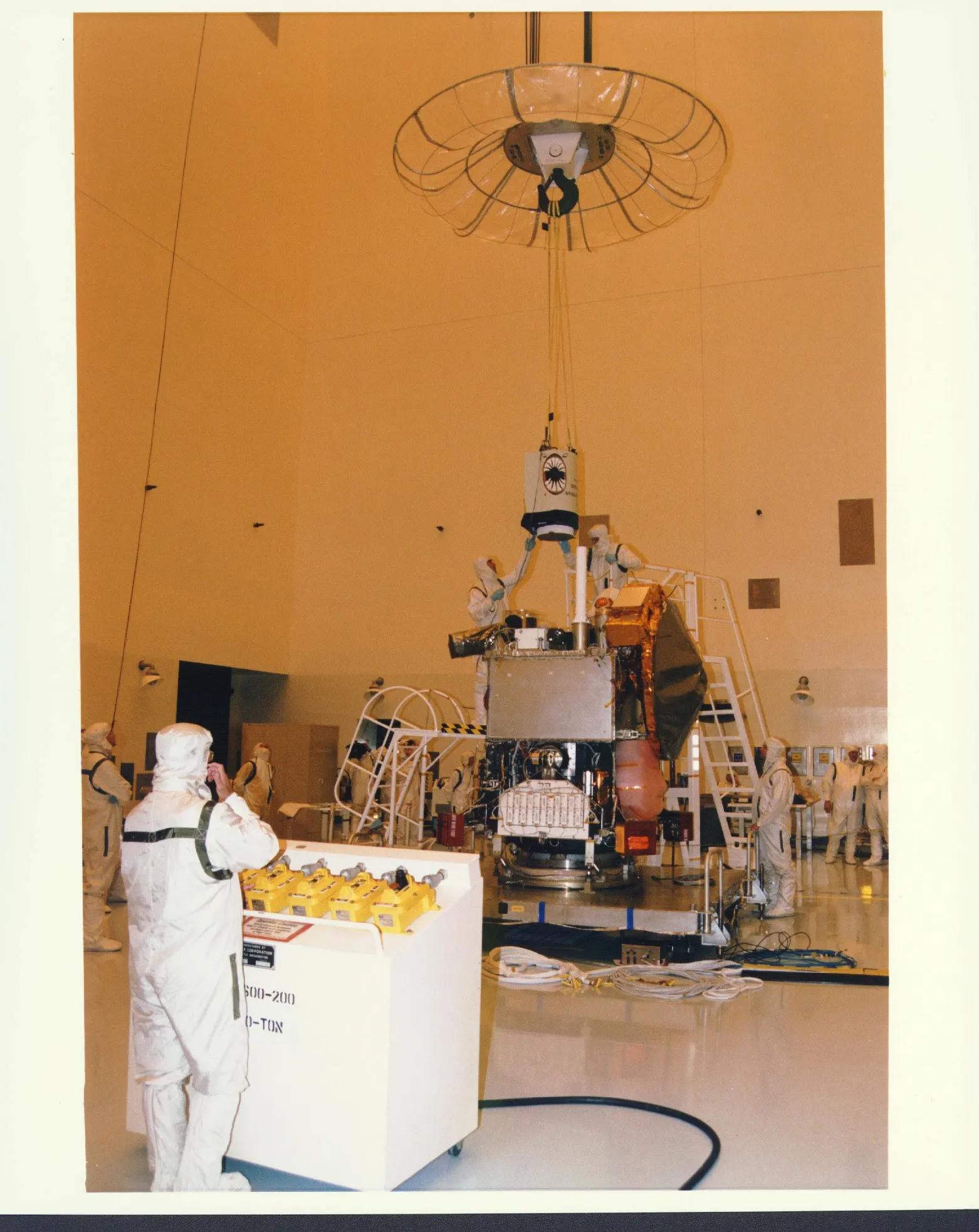
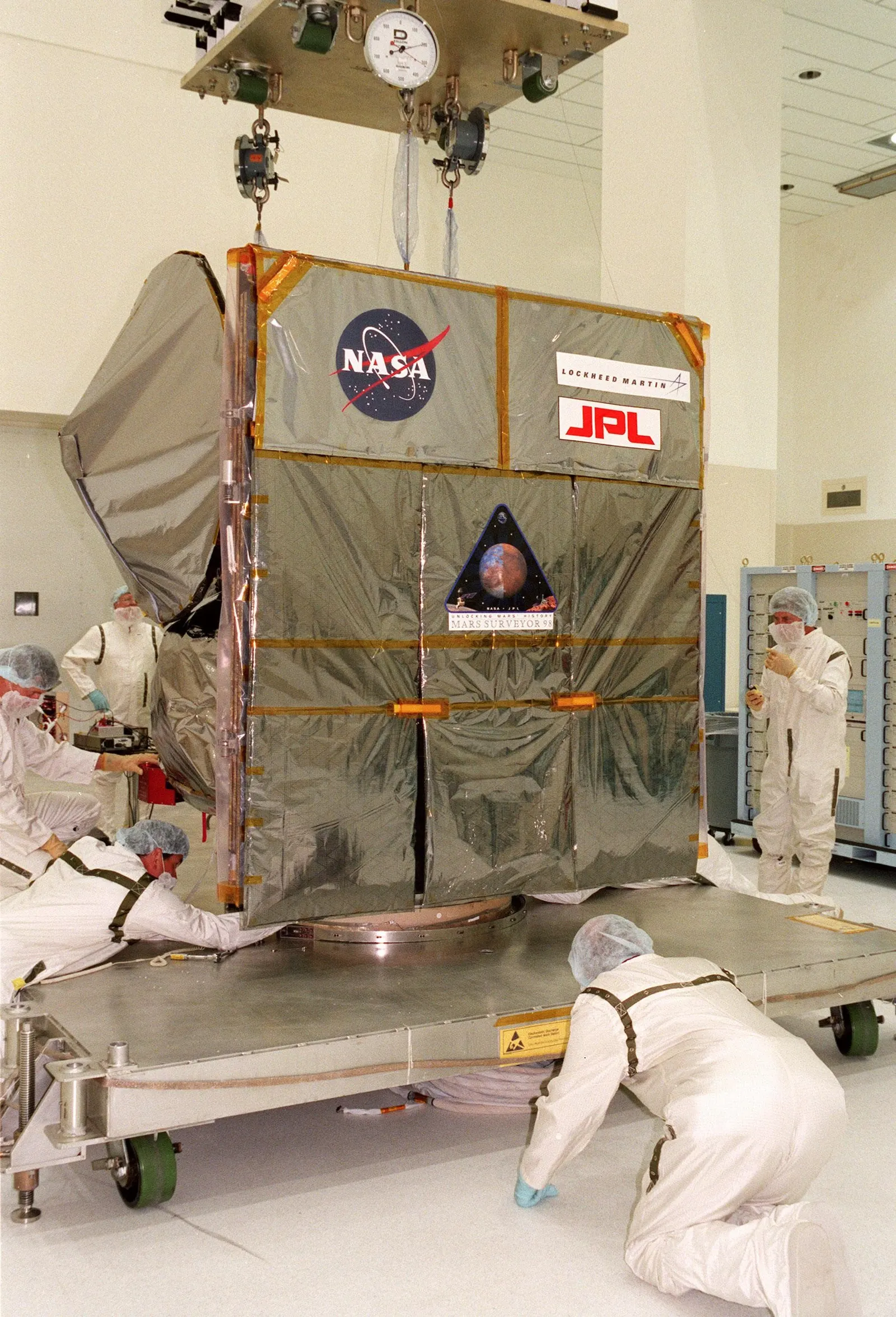
Contact LostMars Climate Orbiter
NASA · 1998 – 1999
Never achieved stable orbit — entered Martian atmosphere due to navigation error
No science data returned — spacecraft was destroyed on September 23, 1999 when it entered the Martian atmosphere
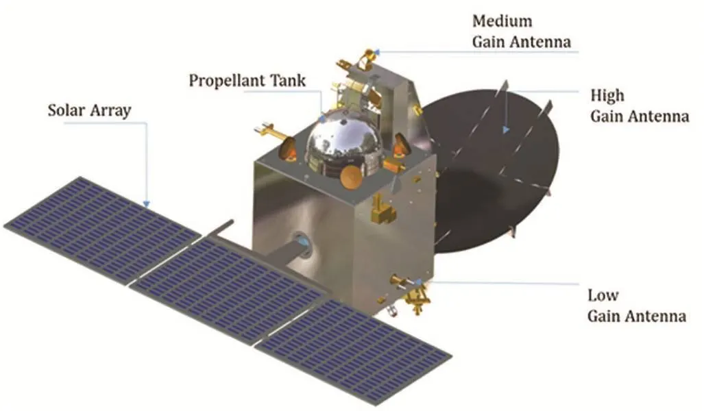
🇮🇳
Mission CompleteMars Orbiter Mission (Mangalyaan)
ISRO · 2013 – 2022
Highly elliptical, 421 × 80,000 km, 72.7-hour period
First Asian nation to reach Mars and the first Mars mission in history to succeed on its maiden attempt
🇺🇸
Contact LostMAVEN
NASA · 2013 – 2026
Elliptical orbit, 145 × 6,200 km, 4.5-hour period; periodic deep-dip campaigns to ~125 km
Determined Mars loses approximately 100 grams of atmosphere per second to solar wind stripping via solar energetic particle events and coronal mass ejections