Every time you use navigation on your phone, ask a delivery drone to find your address, tap a contactless payment terminal, or land in an airplane on an instrument approach, you are relying on a network of 31 satellites orbiting 20,200 kilometers above your head. The Global Positioning System (GPS) — formally the NAVSTAR GPS system — is arguably the most economically valuable piece of infrastructure ever built. A 2019 RTI International study estimated GPS contributes $1.4 trillion annually to the US economy alone.
And yet most people have only a vague idea of how it actually works. The answer involves some of the most elegant physics of the 20th century, atomic clocks accurate to 1 nanosecond, and the general theory of relativity — without which GPS would drift by 10 kilometers per day.
The Basic Principle: It's All About Time
GPS works by measuring time. Specifically, it measures the time it takes for a radio signal to travel from a satellite to your GPS receiver. Since radio signals travel at the speed of light (approximately 299,792 km/second), the travel time tells you the distance: distance = speed × time.
If you know exactly when the satellite sent a signal and exactly when you received it, you can calculate how far away the satellite is. And if you know the exact position of the satellite in orbit, you can determine where you must be in three-dimensional space.
This sounds simple. In practice, several layers of physics make it exquisitely complex — and the solutions to those complications are what make GPS a marvel of engineering.
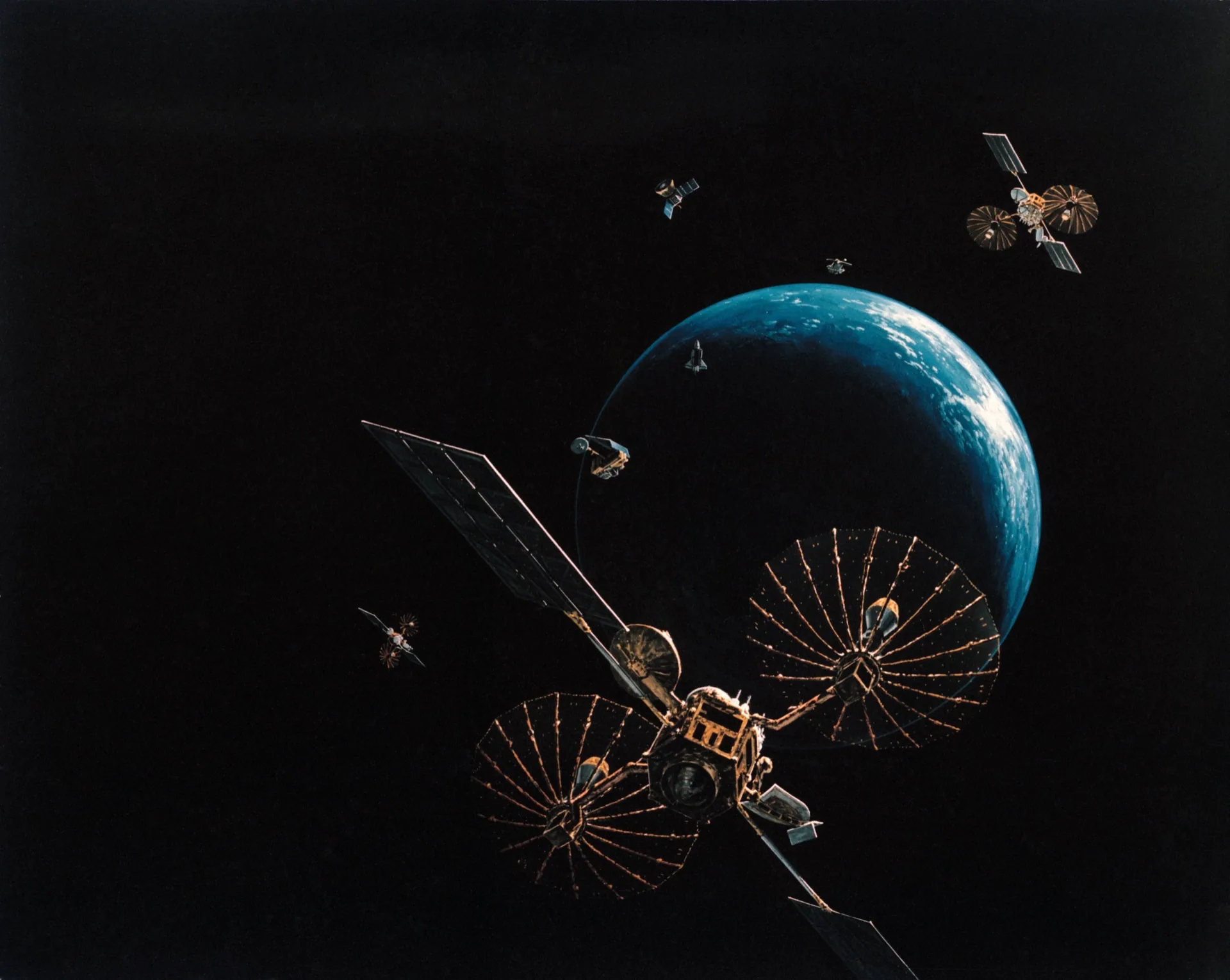
The Constellation: 31 Satellites in Four Orbital Planes

The GPS constellation consists of 31 operational satellites in medium Earth orbit (MEO) at an altitude of approximately 20,200 km. This altitude was chosen deliberately: it places the satellites in the second Van Allen belt gap (low radiation environment), allows a 12-hour orbital period (each satellite completes two orbits per day), and ensures that from any point on Earth's surface, at any time, at least 4–6 satellites are visible above the horizon.
The satellites orbit in six orbital planes inclined at 55° to the equatorial plane, with four or more satellites in each plane. This geometry ensures global coverage — including polar regions — and the visibility of multiple satellites simultaneously from any location.
Who Runs the Constellation?
GPS is owned and operated by the US Space Force (formerly Air Force Space Command). It was originally developed for military navigation starting in the 1970s (the first GPS satellite launched in 1978) and was declared fully operational in 1995. The US government made GPS signals freely available to civilian users in 1983, following the shootdown of Korean Air Flight 007 which navigated using an Inertial Navigation System. President Reagan's order opened GPS to commercial use, and in 2000, President Clinton turned off "Selective Availability" — the deliberate degradation of civilian GPS signals — allowing civilian users the same accuracy as military users.
Today the US operates GPS; Russia operates GLONASS; the European Union operates Galileo (more accurate than GPS for civilian users); China operates BeiDou; India's NAVIC covers South Asia; and Japan's QZSS augments GPS coverage over East Asia and Oceania.
How Triangulation Actually Works
One Satellite: A Sphere of Possibility
If you know you are exactly 25,000 km from one satellite at a known position, you are somewhere on the surface of a sphere of radius 25,000 km centered on that satellite. One satellite tells you very little about your precise location.
Two Satellites: A Circle
Add a second satellite distance measurement, and the two spheres intersect in a circle. You are somewhere on that circle — still not very precise.
Three Satellites: Two Points
Three satellite measurements produce three overlapping spheres whose intersection narrows to two points. For ground-based receivers, one of those two points is typically deep in the Earth or in outer space — obviously wrong — so three satellites can theoretically determine your position on Earth's surface.
Four or More Satellites: Precise 3D Position + Error Correction
In practice, GPS receivers need at least four satellites for two critical reasons:
-
Three-dimensional positioning: With only three satellites, you can determine latitude and longitude but not altitude precisely. Four measurements allow simultaneous solution for x, y, z position and one error variable.
-
Receiver clock error correction: Your GPS receiver's internal clock is not atomic — it's a cheap quartz oscillator accurate to perhaps ±1 millisecond. At the speed of light, 1 millisecond of clock error translates to 300 km of position error. Four satellites allow the receiver to solve for its own clock error simultaneously with its position, eliminating this error mathematically.
More satellites in view improves accuracy. Modern GNSS receivers track all four global constellations (GPS, GLONASS, Galileo, BeiDou) simultaneously — potentially tracking 30+ satellites at once — which dramatically improves accuracy, availability, and reliability.
The Atomic Clocks: The Heart of GPS Accuracy

Each GPS satellite carries four atomic clocks — two cesium and two rubidium. These clocks are accurate to about 20–30 nanoseconds over a day (20–30 billionths of a second). At the speed of light, 1 nanosecond of error corresponds to 30 centimeters of position error. The precision of GPS positioning — better than 1 meter for civilian users, centimeters for military or augmented systems — flows directly from this atomic clock precision.
Atomic clocks work by exploiting the extraordinarily stable frequency of microwave radiation emitted when an atom transitions between energy states. Cesium-133 atoms transition at exactly 9,192,631,770 Hz — this frequency is so stable and reproducible that it is the definition of the second itself. Cesium atomic clocks lose or gain 1 second per approximately 300 million years.
The clocks aboard GPS satellites are constantly monitored by ground control stations, which measure their drift and upload correction data to the satellites. This correction data is transmitted as part of the GPS signal, allowing receivers to apply precise clock corrections.
Einstein's Relativity: GPS Would Be Useless Without It
Here is where GPS gets genuinely mind-bending. GPS accuracy requires accounting for two effects predicted by Einstein's theories of relativity:
Special Relativity: Moving Clocks Run Slow
GPS satellites travel at approximately 3.87 km/second relative to Earth's surface. According to Einstein's special theory of relativity, a moving clock runs slower than a stationary one — time dilation. For GPS satellites, this causes their onboard clocks to lose approximately 7 microseconds per day relative to clocks on Earth's surface.
General Relativity: Clocks in Stronger Gravity Run Slower
GPS satellites orbit at 20,200 km altitude, where Earth's gravitational field is weaker than at the surface. According to Einstein's general theory of relativity, a clock in a weaker gravitational field runs faster than one in a stronger field — gravitational time dilation. For GPS satellites, this causes their clocks to gain approximately 45 microseconds per day relative to surface clocks.
The Net Effect
The two effects partially cancel: the net result is that GPS satellite clocks gain approximately 38 microseconds per day relative to receivers on Earth's surface. This sounds tiny. But at the speed of light, 38 microseconds corresponds to 11.4 kilometers of position error per day. Without relativistic corrections, GPS positions would drift by 11+ kilometers every day — rendering the system completely useless for navigation.
GPS system designers, guided by physicist Richard Feynman and others in the 1960s–70s, deliberately set the satellite clocks to run at a slightly different frequency (10.22999999543 MHz rather than exactly 10.23 MHz) to pre-compensate for the relativistic shift. When the satellites reach orbital altitude, this adjustment brings the apparent clock rate into synchrony with Earth-surface clocks. General relativity is not theoretical in GPS — it is an engineering requirement.
How Your Phone Gets to Sub-10-Meter Accuracy
Standard GPS signals provide civilian accuracy of about 5–10 meters under good conditions. This is achieved through several signal processing techniques:
Multiple Frequency Signals
Modern GPS transmits on multiple frequencies: L1 (1575.42 MHz), L2 (1227.60 MHz), and L5 (1176.45 MHz). Signals at different frequencies are affected differently by ionospheric delays (the ionosphere slows GPS signals, adding apparent distance). Receivers comparing the arrival times of signals at two frequencies can calculate and correct for this ionospheric delay, improving accuracy significantly.
Differential GPS and SBAS
The FAA's Wide Area Augmentation System (WAAS), European EGNOS, and Japan's MSAS are satellite-based augmentation systems (SBAS) that transmit correction signals from known ground stations. SBAS can improve GPS accuracy to 1–3 meters for aviation and other precision applications.
RTK (Real-Time Kinematic) GPS
Professional surveying, precision agriculture, and autonomous vehicles use RTK GPS — a technique where a stationary reference receiver at a known location transmits correction data to a mobile receiver in real time. RTK GPS achieves centimeter-level accuracy. The infrastructure for RTK correction services is now available via cellular data networks (NTRIP protocol), enabling smartphone apps to access centimeter precision.
Modern iPhone and Android devices with L5 GPS receivers (available since iPhone 14 and many high-end Androids) can achieve sub-meter accuracy — substantially better than earlier single-frequency GPS chipsets.
What Uses GPS That You Never Think About
Navigation is the obvious application, but GPS time synchronization may be more economically critical:
Financial markets: Stock exchanges, banks, and payment processors use GPS timestamps to sequence transactions with nanosecond precision. The global financial system relies on GPS time to ensure that trades are processed in the correct order and that settlements match across time zones.
Cellular networks: Cell towers synchronize their transmissions using GPS clocks. Precise timing allows frequency reuse across adjacent cells and enables 4G/5G OFDM signal processing. GPS failure would degrade cellular network capacity within hours.
Power grid synchronization: Electrical utilities use GPS time to synchronize phasor measurement units (PMUs) across the grid, enabling rapid detection and response to grid instability.
Internet infrastructure: NTP (Network Time Protocol) servers that synchronize computer clocks globally typically trace their time to GPS receivers. Your computer's system clock, whether you know it or not, is ultimately synchronized to the GPS constellation via multiple hops of NTP.
Aviation instrument approaches: Category III ILS approaches (allowing landings in near-zero visibility) now use GPS augmentation. WAAS-enabled GPS allows single-pilot IFR approaches to 200-foot decision heights at thousands of airports that previously required expensive ground-based ILS installations.
The Competition and the Future
GPS's monopoly on global navigation ended with Russia's GLONASS (1995), China's BeiDou (2020 full global coverage), and the EU's Galileo (2019 initial services, 2024 full operation). These competing systems are a feature, not a problem, for users — every modern smartphone receiver tracks all four systems simultaneously, improving accuracy and availability through redundancy.
Galileo is worth special mention: it provides higher-accuracy civilian signals than GPS (0.2-meter accuracy in High Accuracy Service, compared to GPS's ~3-meter SPS), and it is the first system designed from scratch with secure civilian authentication (Galileo's Open Service Navigation Message Authentication prevents GPS spoofing attacks on civilian receivers).
The future of GNSS accuracy includes:
- GPS III satellites (12 launched as of 2025) with improved L1 Civil signal and new L2C and L5 signals dramatically improving civilian accuracy
- LEO augmentation constellations: Companies like Xona Space Systems and Satelles are building low-orbit satellite constellations that transmit stronger, harder-to-spoof navigation signals as augmentation layers
- Quantum sensing alternatives: Atomic interferometry gyroscopes and gravimeters may eventually enable inertial navigation systems so accurate they don't require external satellite signals at all
Key Takeaways
- GPS works by measuring the travel time of radio signals from satellites at known positions — the time delay equals the distance, which reveals location
- At least 4 satellites are needed to solve for 3D position plus receiver clock error simultaneously
- GPS satellite atomic clocks are accurate to 20–30 nanoseconds — at the speed of light, this gives sub-10-meter position accuracy
- Without relativistic corrections (both special and general relativity), GPS would drift by 11 km per day and be useless
- Modern smartphones track GPS, GLONASS, Galileo, and BeiDou simultaneously — often 30+ satellites at once
- GPS time synchronization (not just navigation) underpins financial markets, cellular networks, power grids, and internet infrastructure
- Next-generation GPS III satellites and Galileo's High Accuracy Service are pushing civilian GNSS accuracy toward the 20-centimeter range
GPS represents one of history's great technological gifts: a system originally built for US military navigation, opened freely to the entire world, and now so embedded in global infrastructure that its loss would cause a civilizational crisis within days. It runs on physics that puzzled Einstein, components that lose one second per 300 million years, and math that was being worked out in general relativity textbooks while the Apollo program was landing on the Moon.