You probably used GPS before you finished breakfast this morning. Maybe you checked traffic on your commute, or maybe your phone quietly synced its clock to satellite time without you even noticing. Perhaps a delivery truck heading to your local grocery store was being routed by GPS, or the automated trading system at your bank executed transactions timestamped by atomic clocks in orbit. GPS is so deeply woven into the fabric of modern life that most people never think about it. And that is precisely what makes it one of the most extraordinary achievements in the history of technology.
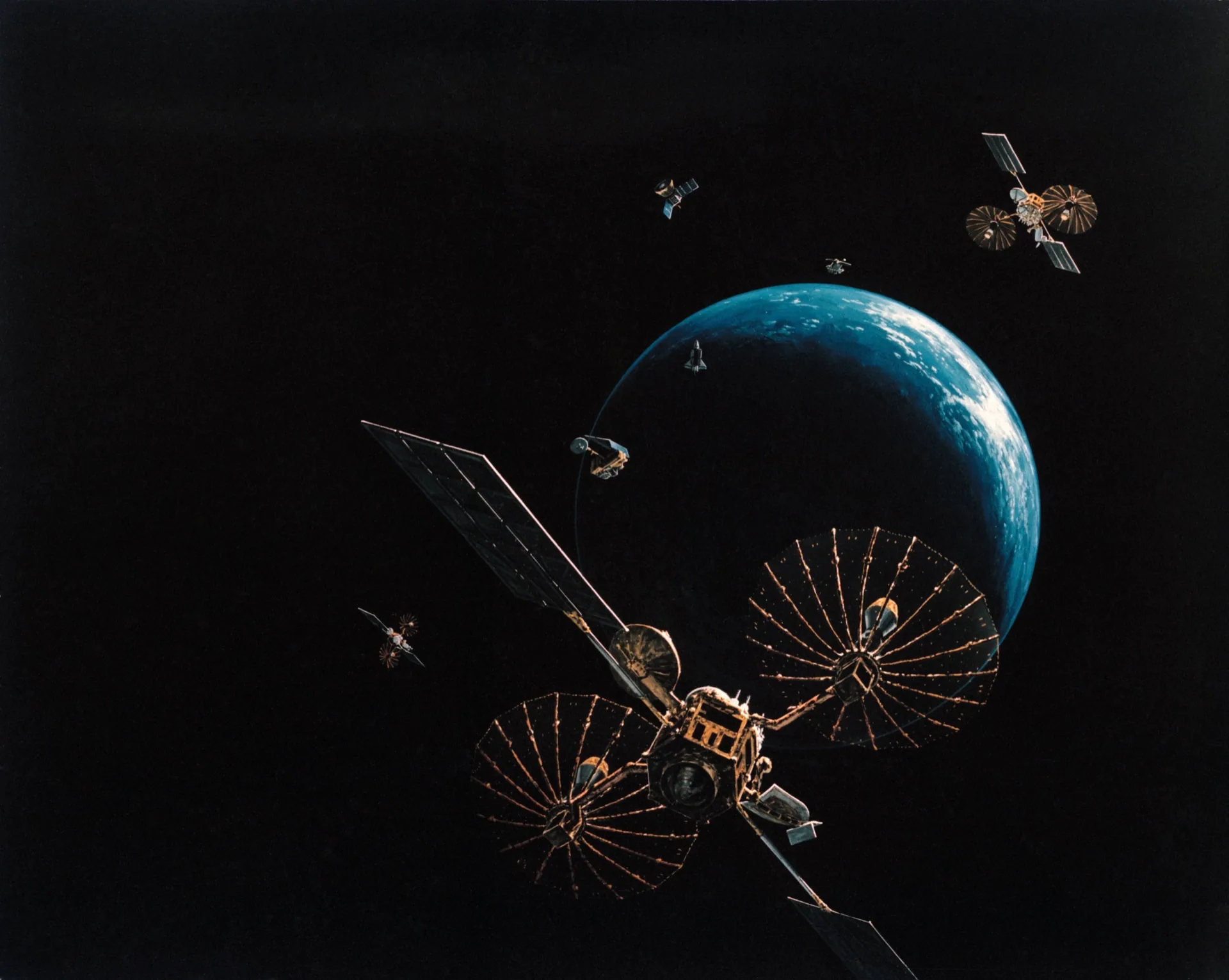
The Global Positioning System has generated an estimated $1.4 trillion in economic benefits for the United States alone since it became fully operational. It underpins transportation, agriculture, finance, telecommunications, emergency services, and scientific research. It is, without exaggeration, the invisible utility that modern civilization runs on. And it works by doing something almost absurdly elegant: listening to extremely precise clocks aboard 31 satellites flying at 20,200 kilometers above Earth.
Global Navigation Satellite Systems (GNSS) Compared (2026)
GPS is no longer the only game in orbit. As of 2026, six independent GNSS / regional navigation systems are operating — four global, two regional — creating a layered, redundant positioning fabric that any modern chipset can fuse in real time.
| System | Operator | Coverage | Active Sats (2026) | Orbit Altitude | Civilian Accuracy | Military / Restricted | Full Operation Year |
|---|---|---|---|---|---|---|---|
| GPS | US Space Force | Global | 31 | ~20,200 km MEO | ~3-5 m (open service); decimeter (L5 precise) | M-code (encrypted) | 1995 (first full op); modernized continuously |
| GLONASS | Roscosmos (Russia) | Global | 24 (2-3 spares) | ~19,100 km MEO | ~5-7 m | High Accuracy Code (HP/HA) | 1995 first full; restored 2011 after gap |
| Galileo | EU / EUSPA | Global | 30 (28 nominal + 2 spares) | ~23,222 km MEO | ~1 m (Open Service); 20 cm (High Accuracy Service) | Public Regulated Service (PRS) | 2024 — full operational capability achieved |
| BeiDou-3 | CASC / China | Global | 35+ (mixed orbits) | MEO + GEO + IGSO | ~3 m globally; ~1 m in Asia | Authorized Service | 2020 — global service complete |
| NavIC (IRNSS) | ISRO (India) | Regional (India + 1,500 km) | 7 (expanding to 11) | GEO + GSO | ~5 m public; ~10 cm restricted | Restricted Service | 2018 — regional operational |
| QZSS | JAXA (Japan) | Regional augmentation (Japan + Asia-Pacific) | 4 (expanding to 7 by 2027) | QZO (figure-8) + GEO | ~1 m augmentation | Submeter Augmentation Service | 2018 — regional operational |
Most modern smartphones and chipsets now receive 4-6 of these systems simultaneously, fusing the signals for higher accuracy, faster fixes, and meaningful resilience against jamming and spoofing. Galileo's High Accuracy Service (HAS) and BeiDou's PPP-B2b broadcast precise orbit and clock corrections free of charge directly from space — quietly shifting once-expensive RTK-grade accuracy out of surveyor backpacks and into mass-market consumer chips.
Active satellite counts as of Q1 2026 per each operator's official status pages. Constellations rotate spares in/out of service routinely.
How GPS Actually Works

The fundamental principle behind GPS is called trilateration, and it is beautifully simple. Each GPS satellite continuously broadcasts a signal that says, essentially, "I am satellite number X, I am at this position, and the time right now is Y." Your GPS receiver picks up these signals and calculates how long each one took to arrive. Since radio signals travel at the speed of light, the travel time tells you how far away each satellite is.
If you know your distance from one satellite, you could be anywhere on a sphere centered on that satellite. Two satellites narrow you down to a circle where the two spheres intersect. Three satellites give you two possible points, and a fourth satellite resolves the ambiguity and also corrects for timing errors in your receiver's less-precise clock.
In practice, modern GPS receivers typically track signals from eight to twelve satellites simultaneously, using sophisticated algorithms to achieve accuracy of a few meters for civilian users. With augmentation systems like WAAS (Wide Area Augmentation System) or RTK (Real-Time Kinematic) corrections, accuracy can reach centimeters.
The trick that makes it all work is time. Each GPS satellite carries multiple atomic clocks accurate to within a few nanoseconds -- billionths of a second. Because light travels roughly 30 centimeters per nanosecond, even tiny timing errors translate into real positioning errors. The clocks must also be corrected for the effects of Einstein's general and special relativity: time runs slightly faster in orbit (due to weaker gravity) and slightly slower (due to orbital velocity). Without relativistic corrections, GPS positions would drift by about 10 kilometers per day. It is one of the few cases where Einstein's theory has a direct, practical engineering application in everyday life.
From Military Secret to Global Utility
GPS began as a Cold War military project. The US Department of Defense launched the first GPS satellite in 1978, and the constellation was designed primarily to give American military forces a precision advantage in navigation and weapons targeting. Civilian access was deliberately degraded through a feature called Selective Availability, which introduced intentional errors of up to 100 meters.
Two events changed everything. In 1983, after Korean Air Lines Flight 007 was shot down after straying into Soviet airspace -- partly due to a navigation error -- President Reagan announced that GPS would be made available for civilian use to prevent similar tragedies. Then in 2000, President Clinton ordered Selective Availability turned off entirely, instantly improving civilian GPS accuracy from about 100 meters to roughly 10 meters. The world has not looked back since.
The decision to provide GPS signals free of charge to anyone on Earth with a receiver was one of the most consequential technology policy decisions ever made. It spawned entire industries and applications that its military creators never imagined.
Beyond Navigation: The Applications You Never Think About
Most people associate GPS with turn-by-turn driving directions, but navigation is actually just the tip of the iceberg. The timing signal from GPS satellites may be even more important than the positioning signal.
Financial markets depend on GPS time to timestamp transactions. When trades are executed in microseconds, having a universally agreed-upon, precise time reference is essential. Stock exchanges, banks, and payment networks all synchronize their clocks using GPS. A disruption of GPS timing could freeze financial markets.
Power grids use GPS timing to synchronize the phase of alternating current across continental-scale electrical networks. Without precise synchronization, connecting power from different generators and regions would be impossible. GPS time helps operators detect and isolate faults within milliseconds, preventing cascading blackouts.
Telecommunications networks rely on GPS timing to synchronize cell towers, coordinate handoffs between cells, and manage data packet timing. Your phone call sounds clear and your video streams smoothly in part because the network infrastructure is locked to GPS time.
Precision agriculture has been transformed by GPS. Modern tractors equipped with GPS receivers and RTK correction can plant seeds, apply fertilizer, and spray pesticides with centimeter-level accuracy. This eliminates overlap, reduces waste, and allows variable-rate application -- putting more fertilizer where the soil needs it and less where it does not. GPS-guided agriculture has saved billions of dollars in input costs while reducing environmental impact.
Autonomous vehicles use GPS as one layer of their positioning system, combined with lidar, cameras, and inertial sensors. While GPS alone is not accurate or reliable enough for self-driving in all conditions, it provides the absolute position reference that other sensors refine.
Scientific research uses GPS in ways most people would never imagine. Geologists measure tectonic plate movements by tracking the positions of GPS receivers bolted to bedrock. Atmospheric scientists derive temperature and humidity profiles by measuring how GPS signals are bent as they pass through the atmosphere. Ecologists track animal migrations by attaching GPS tags to wildlife.
The $1.4 Trillion Impact
A landmark 2019 study by the National Institute of Standards and Technology (NIST) estimated that GPS has generated $1.4 trillion in economic benefits for the US economy since 1995. The study further estimated that a 30-day GPS outage would cost the US economy $1 billion per day, with the most severe impacts falling on precision agriculture, the maritime sector, and telecommunications.
These numbers are almost certainly underestimates, because they cannot fully capture the enabling effect GPS has on innovation. Ride-sharing apps, food delivery services, supply chain optimization, precision surveying, drone operations, and countless other businesses simply would not exist without GPS. It is the invisible platform on which a significant fraction of the modern economy is built.
GPS Is Not Alone: The Global GNSS Landscape
While GPS is the most well-known satellite navigation system, it is not the only one. The realization that dependence on a single system controlled by one nation's military is a strategic vulnerability has led other nations to build their own constellations.
GLONASS is Russia's global navigation satellite system, originally developed during the Soviet era and fully restored by 2011. It uses 24 satellites in orbits slightly different from GPS and provides global coverage with accuracy comparable to civilian GPS.
Galileo is the European Union's system, designed from the ground up for civilian use. Galileo offers several advantages, including a higher-accuracy public service and a search-and-rescue capability that can detect distress beacons and relay their position. Galileo declared full operational capability in 2024 with a 28-satellite nominal constellation (plus active spares), and its free High Accuracy Service now delivers some of the best civilian accuracy of any GNSS system.
BeiDou is China's system, which achieved global coverage in 2020. BeiDou includes geostationary and inclined geosynchronous satellites in addition to medium Earth orbit satellites, giving it particularly strong performance in the Asia-Pacific region. It also includes a short message communication service -- a unique feature among GNSS constellations.
Modern receivers typically track signals from multiple constellations simultaneously, improving accuracy and reliability. Your smartphone likely uses GPS, GLONASS, Galileo, and sometimes BeiDou together without you ever knowing.
Vulnerabilities: The Achilles Heel
For all its power, GPS has significant vulnerabilities that keep security experts up at night.
Jamming involves broadcasting radio noise on GPS frequencies to drown out the satellite signals. Because GPS signals arrive from 20,000 kilometers away, they are extraordinarily faint -- a GPS jammer that fits in a cigarette lighter can overwhelm signals across a wide area. GPS jamming has been used by criminal gangs to defeat vehicle tracking, by nations during military operations, and even accidentally by faulty equipment.
Spoofing is more insidious. Instead of blocking GPS signals, a spoofer broadcasts fake signals that mimic real GPS transmissions but carry false position or timing information. A successfully spoofed receiver believes it is somewhere it is not, or that the time is different from what it actually is. Researchers have demonstrated GPS spoofing attacks that could redirect ships, confuse drones, or disrupt financial timing.
These vulnerabilities have driven investment in backup and complementary positioning systems. Enhanced Loran (eLoran), a ground-based system, has been proposed as a resilient backup. Inertial navigation systems can bridge short GPS outages. And a new generation of positioning signals from low Earth orbit (LEO) satellites -- which are closer to Earth and therefore stronger -- is being developed to augment and eventually complement traditional GNSS.
The Future: LEO Augmentation and Beyond
The next frontier in satellite navigation involves LEO constellations. Companies like Xona Space Systems are developing dedicated LEO positioning satellites that will provide stronger signals, faster convergence to centimeter accuracy, and greater resistance to jamming. Meanwhile, researchers are exploring whether signals from existing LEO constellations like Starlink could be repurposed for positioning -- effectively turning thousands of communications satellites into a massive navigation network.
GPS was built by engineers who wanted to help pilots and soldiers know where they were. It became the timing backbone of global finance, the guidance system for the world's food supply, and the platform on which an entire generation of location-based services was built. Pound for pound, dollar for dollar, it may be the single most impactful investment in space technology ever made. And most of us use it every day without a second thought. That, perhaps, is the ultimate measure of its success: technology so good, so reliable, and so seamlessly integrated into daily life that it becomes invisible. But next time your phone knows exactly where you are, take a moment to appreciate the 31 satellites, the atomic clocks, and the touch of Einstein that make it all possible.