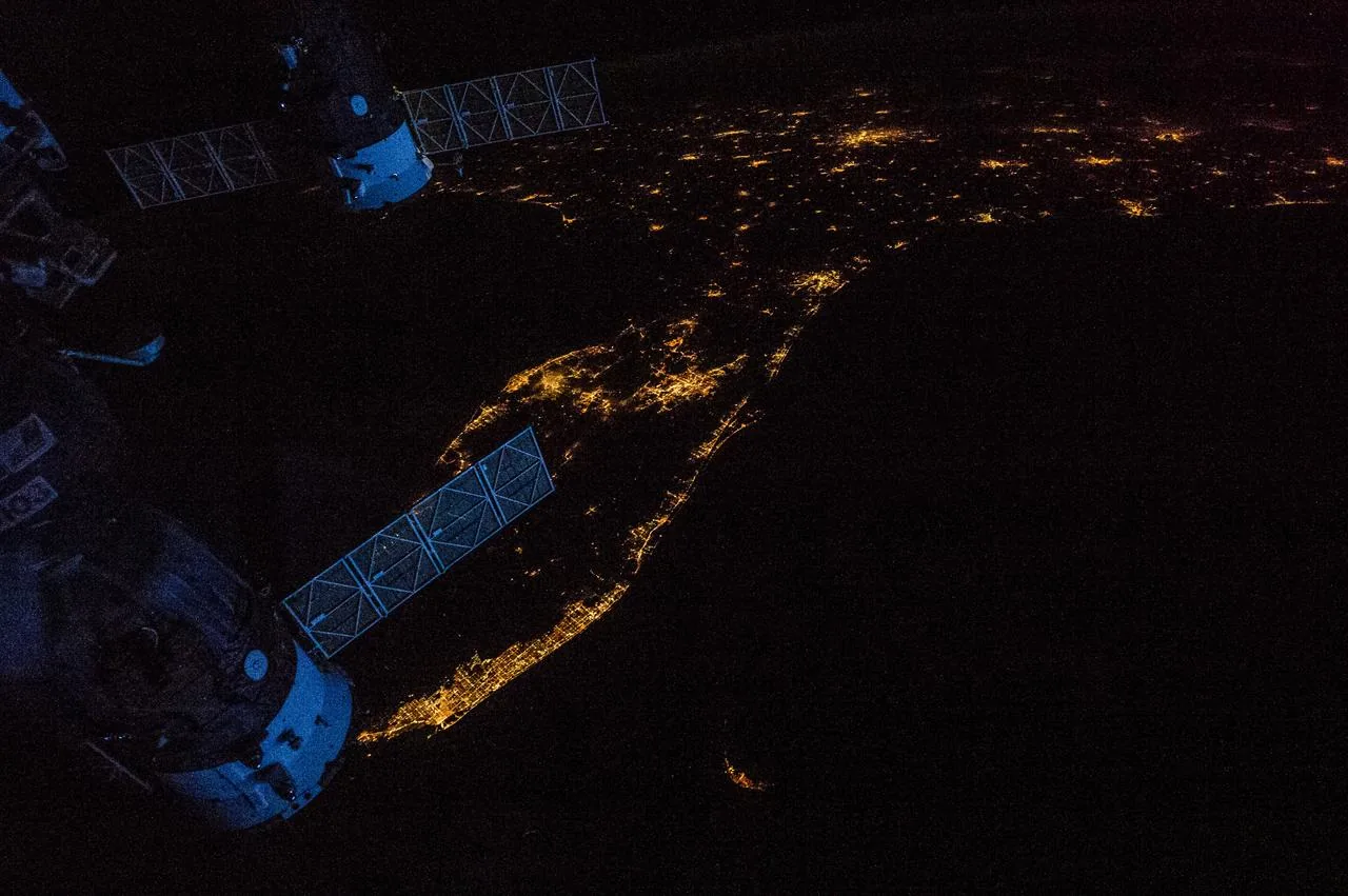
newsJuly 10, 2026
Guowang vs Qianfan: Inside China's Megaconstellation Answer to Starlink
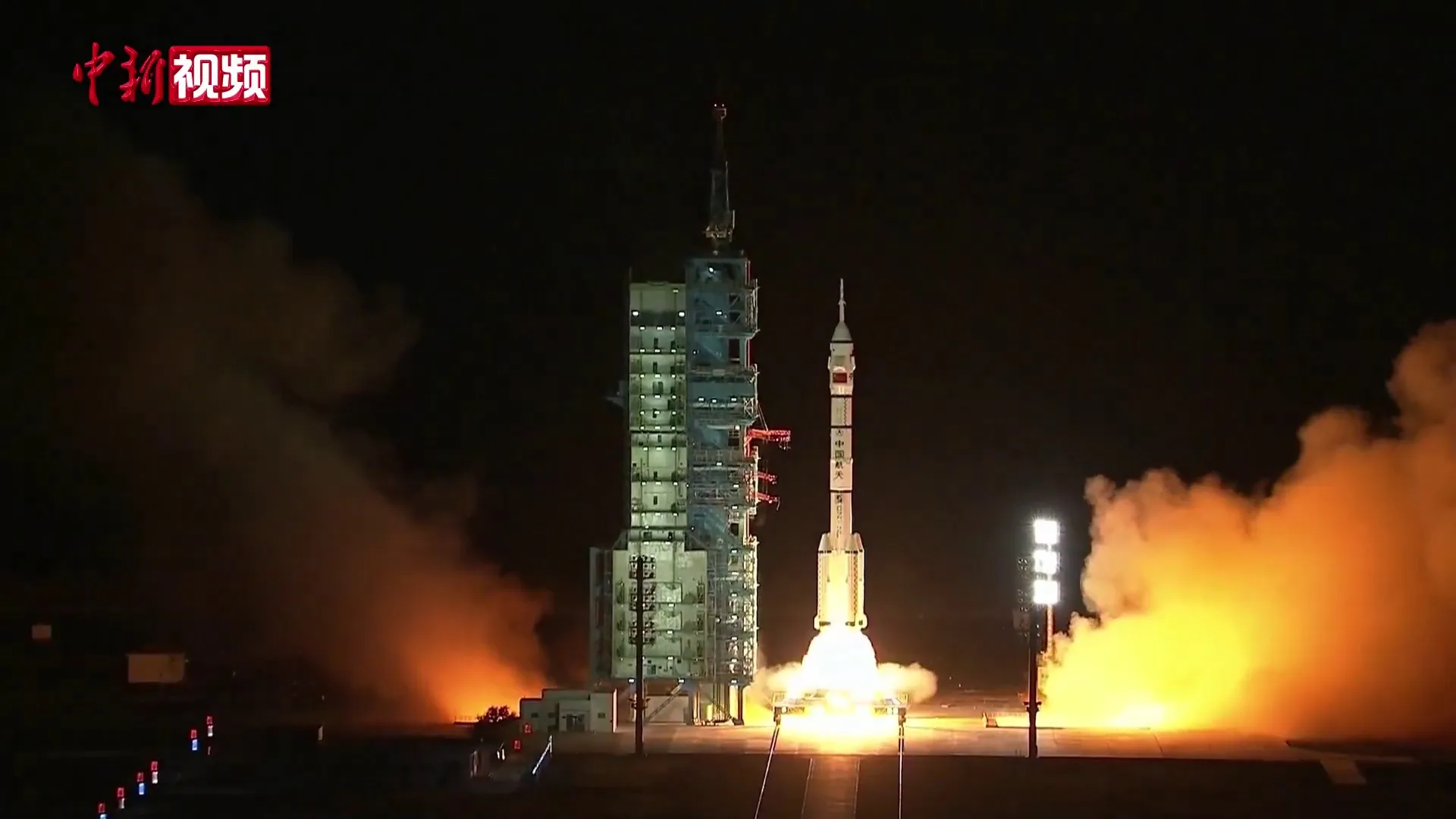
China's answer to Starlink: two vast LEO constellations, Guowang and Qianfan. Inside the deployment, the Long March launch bottleneck, and the orbital stakes.
China's answer to Starlink: two vast LEO constellations, Guowang and Qianfan. Inside the deployment, the Long March launch bottleneck, and the orbital stakes.
Inside Pixxel, the Bengaluru startup flying the world's highest-resolution hyperspectral constellation — Firefly, NASA, Rio Tinto and a whole new market.
GPS seems like magic — your phone knows exactly where you are within meters. Here's the elegant physics behind it: atomic clocks, triangulation, and a constellation of 31 satellites in medium Earth orbit.
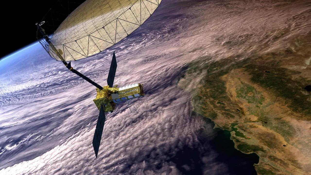
How the Copernicus Sentinels, NASA satellites, and methane-hunting orbiters track ice loss, sea level rise, and deforestation — the backbone of modern
Satellites, GPS, and NDVI imagery are boosting crop yields 15-20% worldwide. How NASA's SMAP, Copernicus, and ISRO data feed farmers from Iowa to Uttar Pradesh.
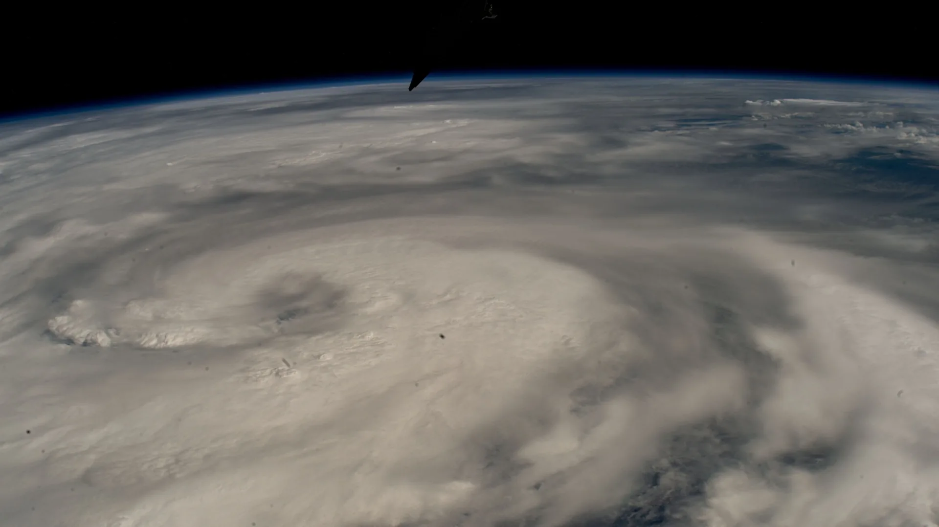
How SAR satellites, the International Disaster Charter, and Starlink reshape emergency response — from the 2023 Turkey earthquake to wildfire and flood
GPS has generated $1.4 trillion in US economic value — here's how it works alongside Galileo, GLONASS, BeiDou, NavIC, and QZSS in 2026's six-system GNSS landscape.